
Scroll
Geomatics engineering · Reality capture
We integrate with every member of your team, from shovel-holder to stakeholder.
Decades of field experience paired with emerging reality capture technology — delivered by dedicated project teams who stay with you from mobilization to final deliverables.
Where we work · 49.3°N to 66.0°N
In the field
Every observation starts the same way.
01 · Occupy
Set up over the point
Tripod centred on the control point, legs footed, plate roughly level. Nothing downstream is better than this step.
02 · Orient
Level, backsight, close
Level the tribrach, sight a known backsight and close the loop before a single new point is collected.
03 · Observe
Measure and check on site
Angles and distances tied to the network and checked in the field — not back at the office three days later.
Where we work
49.28°N to 66.00°N.
Vancouver
Urban control and machine guidance on constrained downtown sites.
Port Alice
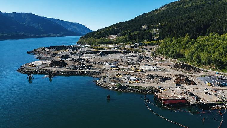
LiDAR and sonar merged across a tidal mill site on the island’s west coast.
KSM Mine
Layout and settlement monitoring through the northern interior.
Baffin Island
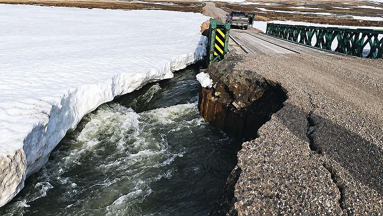
Thirty kilometres of as-built above the Arctic Circle, in break-up conditions.
Reality capture
Ten million points, resolved into something you can build from.
The scanner sees everything
A UAV or terrestrial scanner returns millions of unordered points — every surface in range, with no meaning attached to any of them.
Registration ties them together
Separate scans are aligned to shared control, so the cloud sits in your project’s coordinate system rather than its own.
Surfaces are extracted
Ground, structure and built elements are separated and meshed — the point of the exercise, and the part that takes judgement.
You receive something usable
Existing conditions in the format your team already works in, checked before it leaves us.
Ready to partner?
One crew or a full geomatics program.
Tell us where the site is and what the schedule looks like. We'll tell you what it takes to hold it.